

NJ weather: How smoke, haze, and spotty storms will affect the weekend
The Bottom Line
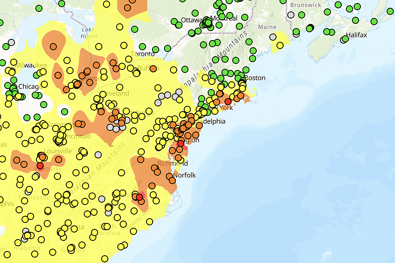
We are getting there, New Jersey! The Air Quality Index on this Friday morning is looking much better than it has over the past few days. Just to give you a sampling of actual numbers, according to the EPA:
—Northwestern NJ... 55 (Moderate)
—Monmouth/Ocean Counties... 107 (Unhealthy for Sensitive Groups)
—Southern Coast... 134 (Unhealthy for Sensitive Groups)

All those numbers continue to drop with each passing hour too. Remember, this is "old" smoke that has been lingering around the Ohio Valley and Northeast U.S. It is not spewing directly from the Canadian wildfires into NJ at this point.
So your mileage may vary during the day Friday, as pockets of thicker haze and dirtier air come and go. Smoke models show the poorest air quality will be found in the southern half of the state. Especially around the Philly metro area.
An Air Quality Alert (Code Orange) continues (statewide) for one more day.
This weekend, in addition to the smoke thinning, we will benefit from a wind direction shift to the west and then the south. That should put a definitive end to smoky haze and air quality concerns. (For now — I am not completely convinced they will not resurface next week. But we have to play that day-by-day.)
We also have to talk about some spotty thunderstorms on Friday. Then warming temperatures and increasing humidity Saturday and Sunday. And then a broader period of rain on Monday.

Friday
The haze, smoky smell, and air quality will be better Friday. But still not great.
Those who are sensitive to the smoke particulates in the air — which may be most of us at this point — may want to spend one more days indoors with windows closed.
A colorful sunrise is giving way to a partly sunny day. Highs will reach the lower 70s Friday afternoon, a bit below our seasonal normal of 80-ish.
A broad area of low pressure continues to meander over New England. That is responsible for the northwesterly winds and the influx of smoke this week. As that system wobbles to the west Friday, it will send some waves of energy through New Jersey. And that's there is a chance of showers and thunderstorms in the forecast.
Those showers will be spotty — hit or miss — as they battle relatively dry air. (And the uncertain effects of the smoke particulates still in the air.) However, keep an eye on the sky as a few little downpours and rumbles of thunder could get in the way of outdoor plans.
The chance of a shower will fade by Midnight. And then we'll see a partly cloudy overnight with lows in the 50s.
Saturday
Even lighter haze. Even better air quality. We have the potential for a seriously nice day Saturday.
With a bright sky and mix of sun and clouds, our wind will blow from the west-northwest Saturday up to about 20 mph. Let's call that "breezy at times". High temperatures will push to about 75 to 80 degrees. That is seasonable — typical for mid June.
Although my on-air and online forecast shows a dry day, I can't completely rule out an isolated afternoon shower.
Sunday
We'll get a little taste of summer on Sunday. With two pieces of good news: 1.) No air quality concerns at all, and 2.) No chance of rain.
Skies will turn partly to mostly cloudy though.
Highs on Sunday should reach into the lower to (maybe) mid 80s across most of the state. Even mainland beaches will come close to the 80-degree mark. (That is largely dependent on whether winds blow from the south or the southeast.)
Go ahead. Jump in the pool. Head to the beach. No concerns whatsoever.
Monday & Beyond
Our next storm system comes into view on Monday. The timing of this piece of energy, swinging down from Canada and the Great Lakes, is uncertain. (Monday all-day vs. Monday night)
But this could be New Jersey's first widespread rainfall in six weeks. We could even pick up a healthy inch of rain in spots.
We desperately need the rain too. The newest U.S. Drought Monitor report shows over half the state is classified as "Abnormally Dry". And a western slice of Gloucester and Salem counties are now officially in "Moderate Drought".

Next week still looks like typical June weather. Highs around 80 degrees, with an almost-daily chance of popcorn thunderstorms.
NJ's crazy haze, choking smoke, and sinister sky
Gallery Credit: Dan Zarrow
Dan Zarrow is Chief Meteorologist for Townsquare Media New Jersey. Follow him on Facebook or Twitter for the latest forecast and realtime weather updates.
Who has electric vehicles in NJ? Top 21 zip codes for EV registration
Gallery Credit: Erin Vogt
More From Lite 96.9 WFPG


