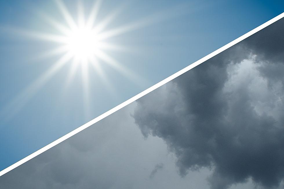
NJ weather: Beautiful Thursday, stormy again Friday
The Bottom Line
Let's recap the week so far. Monday was rainy. Tuesday was not. Then Wednesday turned stormy again. The flip-flopping, seesawing, oscillating weather continues Thursday — a beautiful day, with no rain in sight. And then our next storm system rolls in Friday.
That next batch of thunderstorms during the daytime hours on Friday is worth watching. The atmosphere will be even more conducive to strong storm cells, capable of producing heavy downpours, gusty winds, and hail.
The Father's Day Weekend has taken an unfortunate return too, with a rain chance now in play.

Thursday
A gorgeous day, from start to finish.
We are averaging upper 50s to start your Thursday morning. And thermometers will top out around 80 degrees Thursday afternoon.
Skies will be sunny and blue to start, before we pick up some fair-weather clouds in the afternoon.
Also, smoke is set to return to our atmosphere late Thursday. Not at the surface, which would cause the choking air quality and visibility issues. But overhead. That could make the sky look more hazy, milky, and washed-out. And could make for a brilliant sunset.
Our problem-free weather will continue Thursday night, with clear skies and lows in the comfortable lower 60s.
Friday
A stormy day, from start to finish.
Scattered storms will arrive around mid-morning Friday. Final ones will exit in the evening hours. Let's call it 8 a.m. to 10 p.m.
It will not be a washout though, with breaks in the rain and some pops of sun. Of course, any sunshine will "cook" the atmosphere, leading to stronger thunderstorms.
It's going to get pretty humid as the day goes on, raising the risk for heavy downpours, ponding, and flooding issues. (Rainfall totals will probably exceed an inch in spots.) There will be sufficient instability in the atmosphere to spark gusty winds and hail too. Lightning is a concern in any thunderstorm.
I don't want to localize the storms too much, but models do show the strongest cells and heaviest rain will be over South Jersey.
High temperatures on Friday will scale back to the mid 70s. Probably dropping into the 60s during active rainfall.
Bottom line: Not a nice day. It will be difficult to "thread the needle" through the spotty storm cells for outdoor activities.
Saturday
Unfortunately, Friday's storm system now looks to linger over the Northeast U.S. through Saturday. That raises the chance for some showers and thunderstorms for the first half of the weekend too.
I will mention that models have not settled on the spread of rain here. The NAM and GFS favor a wide swath of spotty showers and thunderstorms around the middle of the day. Meanwhile, the Euro keeps shower activity more isolated, and more limited to northern New Jersey.
So Saturday is iffy. I don't think it's a washout — the later it gets, the nicer the weather will be. And the best chance of rain will clearly be to the north and east.
Skies will remain mostly cloudy on Saturday. And temperatures will be affected by the rain and cloud cover, topping out in the mid to upper 70s. (Maybe 80 to the southwest.)
Sunday (Father's Day)
The good news for NJ dads is that Father's Day Sunday looks like the bright spot of the upcoming weekend.
While the chance for rain on Sunday is not zero, it's very low. We will enjoy a mix of sun and clouds, pushing the high temperature back toward the 80-degree mark again.
The Extended Forecast
The forecast for next week is tricky, but I think our general trend continues. Bouts of pleasant weather mixed with occasional thunderstorms. Typical for the final few days of Spring.
Next week's forecast is also very important, given the vast number of outdoor graduation ceremonies that are scheduled across the state. Honestly, I'm worried. There is a daily chance of late-day thunderstorms in the forecast at this point. Those making "rain date" or "rain location" plans will need to keep a day-to-day vigil on the latest outlook. I will do my best to especially pinpoint the timeline and geography of any rain threats.
LOOK: Most commonly seen birds in New Jersey
Gallery Credit: Stacker
Dan Zarrow is Chief Meteorologist for Townsquare Media New Jersey. Follow him on Facebook or Twitter for the latest forecast and realtime weather updates.
NJ's crazy haze, choking smoke, and sinister sky
Gallery Credit: Dan Zarrow


