New Jersey will see significant improvements in the weather forecast on Monday and the coastal flooding threat will be much lower, although rough surf and high water remains in spots.
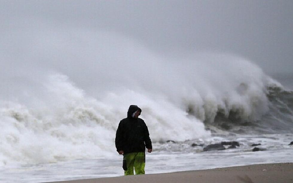
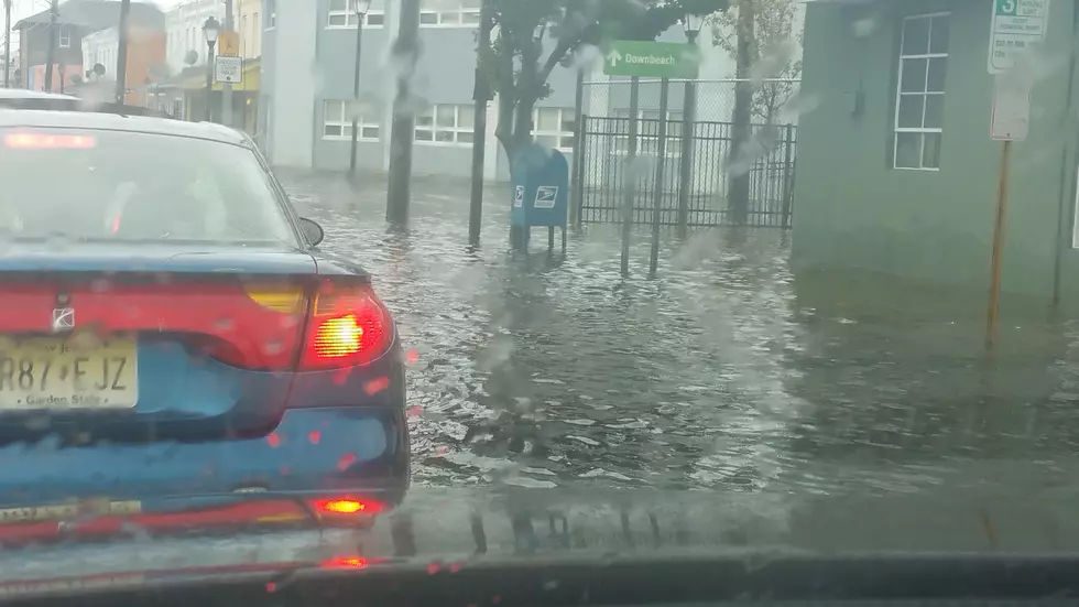
Days of rain and wind have taken their toll on South Jersey. Many areas are experiencing flooding, the ocean is roaring, and the view from any window is a far cry from what we were all seeing a month ago. We're compiling photos of how things are looking around the area. Take a look, and send us a picture or video of your own too. Stay safe out there Jersey!
Confidence is growing that Hurricane Joaquin will turn away from the U.S. East Coast, but some dramatic indirect impacts are still expected for New Jersey.
The earliest we are expected to feel any direct impact from Hurricane Joaquin now looks to be late Sunday or Monday, but events are already being cancelled or postponed for this weekend.
Despite continuing uncertainty, the latest models and official forecasts from the National Hurricane Center show Hurricane Joaquin's track is trending eastward.
Even though Joaquin is still hundreds of miles away and despite continuing uncertainty in the exact forecast track of Joaquin, New Jersey will start to experience significant rain, wind, and surf impacts Friday through the weekend.


![Governor Christie Declares State of Emergency Ahead of Hurricane Joaquin [VIDEO]](http://townsquare.media/site/398/files/2015/10/christie-andy-burton.jpg?w=980&q=75)