NJ weekend forecast looks pretty good, a bit cooler and cloudier
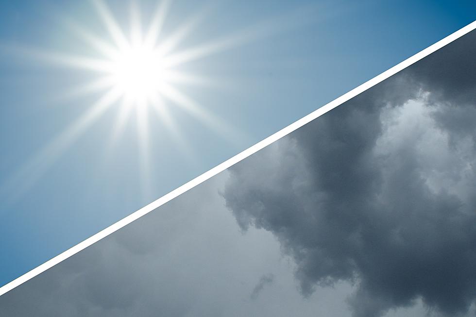
To the south, a broad storm system, set to deliver a soggy weekend to parts of the mid-Atlantic and the Southeast.
To the north, a big dome of high pressure, gifting sunny skies to New England and the Northeast throughout the weekend.
Here in New Jersey, we're stuck right in the middle.
This weekend will be neither sunny, nor soggy. On balance, this forecast looks pretty good — it just might end up a bit cloudier and cooler than you might like thanks to an on-shore flow. That will be especially true along the Jersey Shore.
(I have to be careful about posting a dismal forecast for the beaches in the summer season. And I'm not — again, it's not a terrible forecast. I'm just not sure you'll want to work on your tan and/or jump in the ocean this weekend.)
As we begin this Friday morning, our atmosphere has dried out and cooled down a bit. Temperatures are mostly in the 60s — much more comfortable than Thursday morning's 70s.
With pleasant pops of sunshine and passing clouds, we should top out in the mid 70s (coast) to lower 80s (inland) Friday afternoon — on the order of 5 to 10 degrees cooler than Thursday. Not a bad late Spring day. Models also show one or two light rain showers may impact South Jersey at some point.
I believe it's safe to call Saturday the nicer day of the weekend — it looks a bit brighter, slightly warmer, and dry all day. Skies will be partly sunny with high temps similar to Friday, in the mid 70s to lower 80s.
Sunday turns mostly cloudy, with highs in the 70s. We'll stay dry during the day. But showers may bubble up from the south Sunday night (after about 7 p.m.)
The forecast for next week is still wishy-washy, but it does look somewhat unsettled and wet. Occasional showers are expected on Monday, but it won't be a total washout of a day. High temperatures will be similar to Sunday, in the 70s.
Steadier, heavier rain is possible from late Monday through early Tuesday — although notably, a few models show the heaviest rain staying just off-shore. We could even see some late clearing on Tuesday, helping some high temperatures into the lower 80s. Wednesday looks dry and pleasant, before rain returns on Thursday. (Keep in mind, these details are very sketchy because it's almost a week away.)
Dan Zarrow is Chief Meteorologist for Townsquare Media New Jersey. Follow him on Facebook or Twitter for the latest forecast and realtime weather updates.
More From Lite 96.9 WFPG


